Dirección
Pje. Raúl Jiménez Chavez 16B-9, Puerto Maldonado
Horario de atención
Lunes a Sábado: 8AM - 6PM
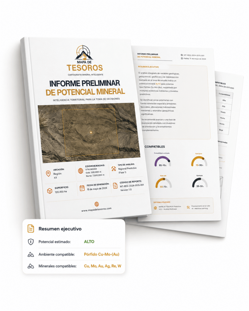
RECOMMENDED FOR BEGINNERS
Understand what mining opportunities exist on your land before investing more resources. Get a clear preliminary overview of the mining context to more confidently decide whether it’s worthwhile to move forward.
PREMIUM CABINET ANALYSIS
Identify, prioritize, and rank areas with greater geological consistency before fieldwork. Integrate advanced geospatial information to reduce uncertainty and guide better technical decisions.
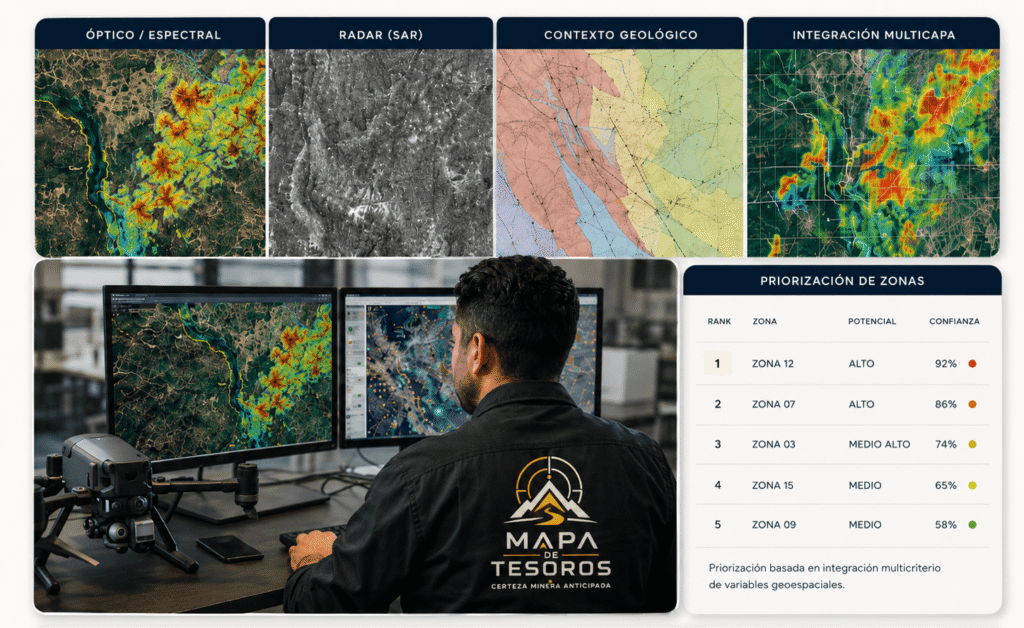
Alterations, lithologies and spectral signatures.
Terrain structures, guidelines, and texture
Maps, units, structures and faults.
Magnetometry, contrasts and interpretive support
Overlap and advanced multi-criteria analysis
REFERENCE TECHNICAL VALIDATION
It confirms on-site the technical consistency of previously prioritized areas. This service allows for verification of accessibility, surface conditions, signage, and the consistency of the observed context before proceeding with decisions involving larger investments.
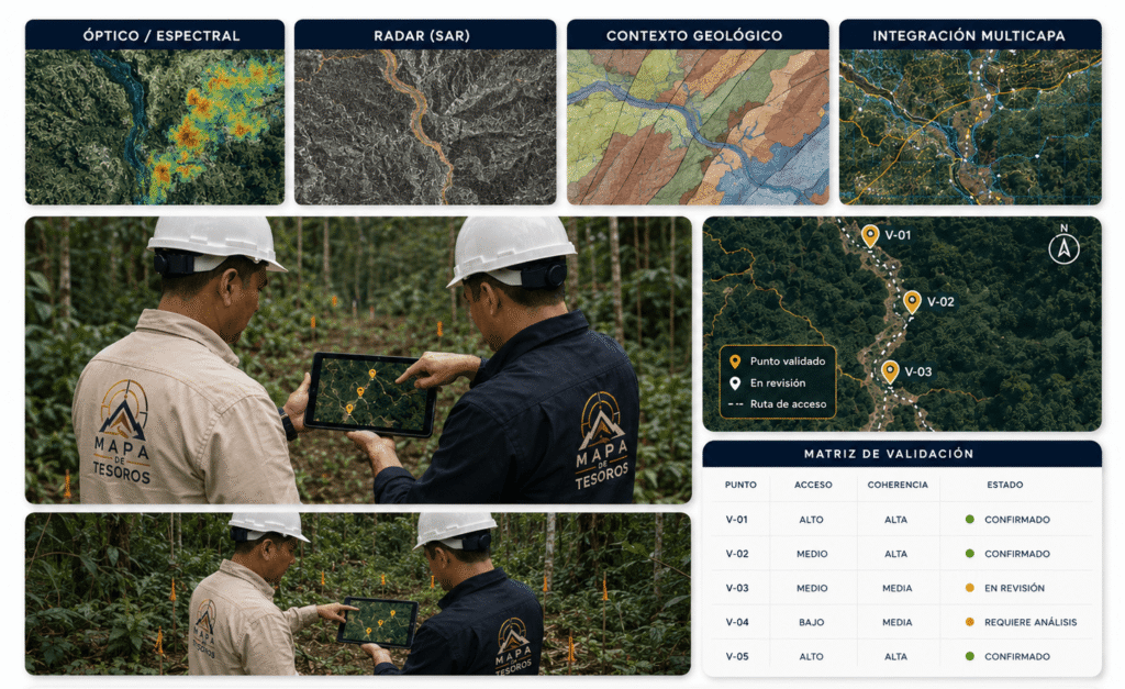
Reference location of target areas
Routes and entry conditions
Surface observation and photographic record
Correspondence between office and field
Points and documented findings
PREMIUM CONDITIONED
It supports projects that already justify moving forward with greater technical guidance. This service helps to organize work fronts, sequence tasks, operational priorities, and critical decisions to execute with better judgment, less resource dispersion, and greater technical coherence.
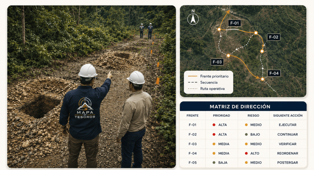
Fronts and tasks ordered
Defining next steps.
Consistency between plan and execution
Expert-based support
Greater clarity to act.
EXPERT TECHNICAL SUPPORT
Resolve critical doubts, interpret results, and receive expert guidance to make clearer decisions. This service
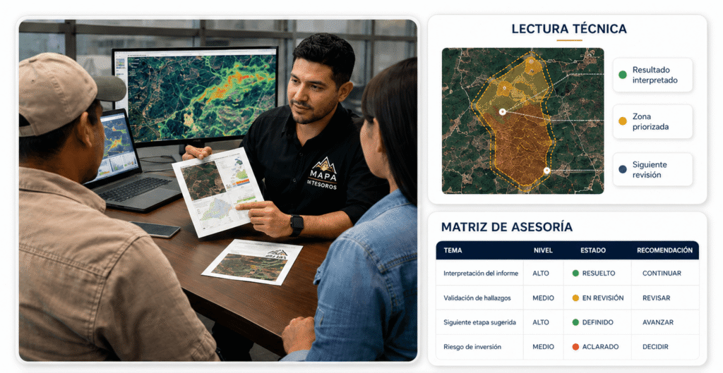
Clear reading of results
Defining next steps.
Professional recommendations
Answering key questions.
Greater clarity to act.